This map story produced by FODER and RFUK explores how the ForestLink community real-time forest monitoring system is transforming the detection and enforcement of illegal forest activities in Cameroon and beyond.
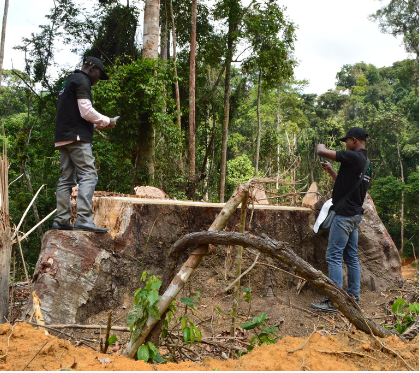

This map story produced by FODER and RFUK explores how the ForestLink community real-time forest monitoring system is transforming the detection and enforcement of illegal forest activities in Cameroon and beyond.
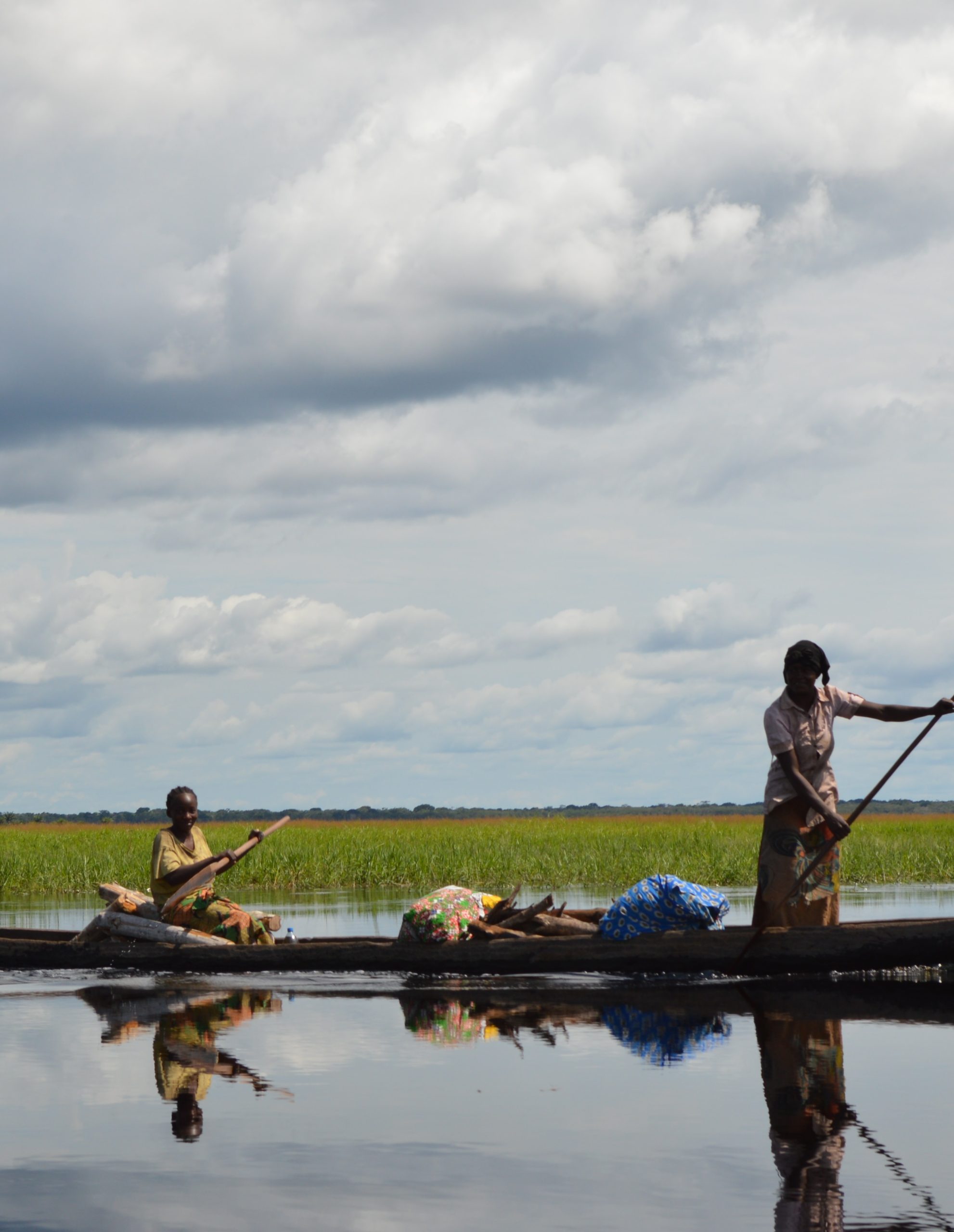
This map story produced by RFUK and our local partners in DR Congo and the Republic of Congo highlights the growing risks from logging and the extractive industries to the Cuvette Centrale peatlands, one of the largest carbon sinks on earth, and explains why local communities hold the key to protecting it.
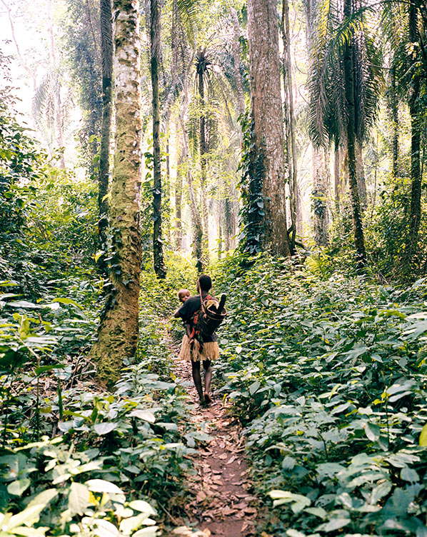
In May 2021, the Conference of Parties to the Convention on Biodiversity (CBD) is set to agree on a new target to place at least 30 percent of the earth’s surface into conservation status by 2030.
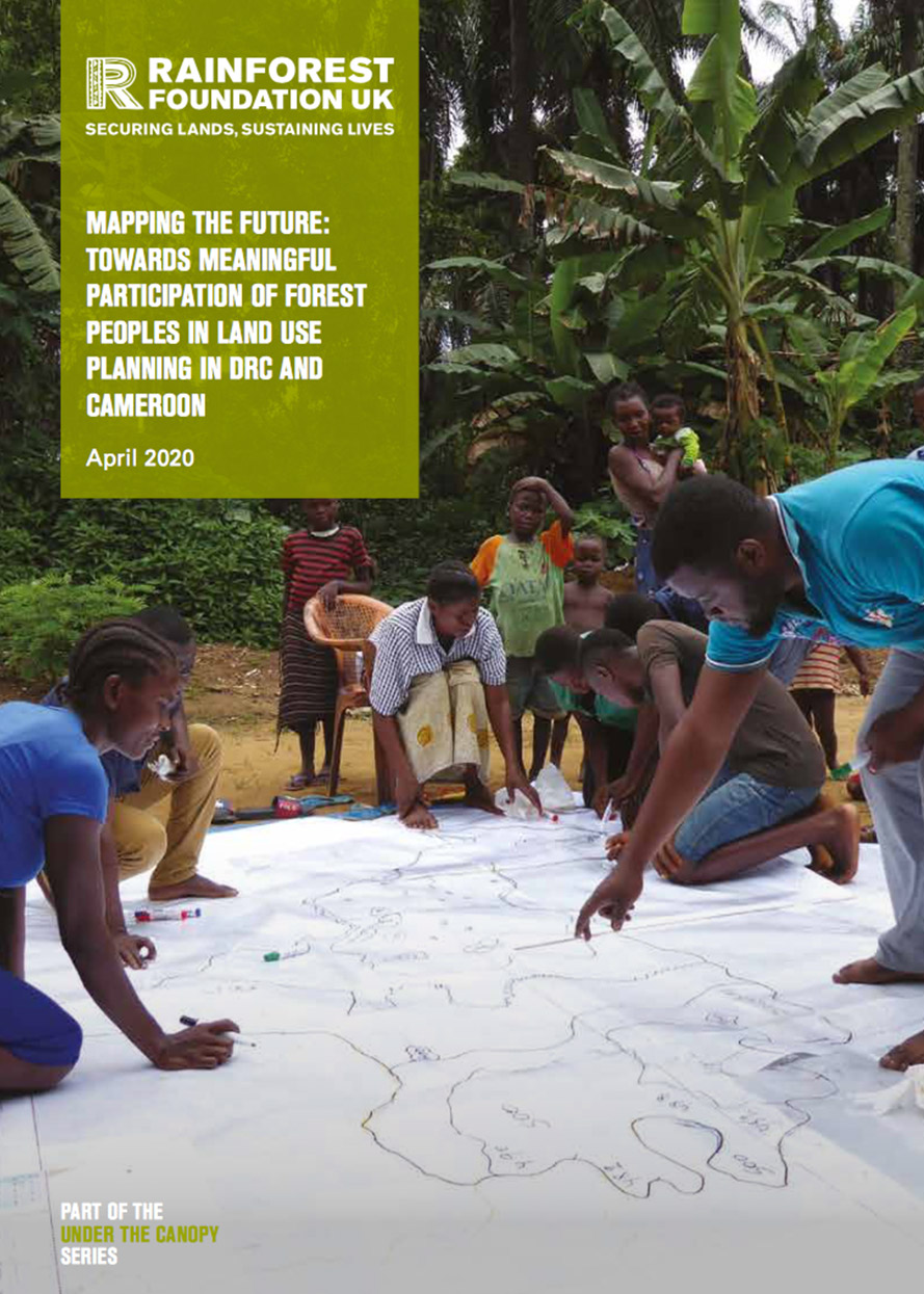
The Congo Basin rainforest constitutes one of the world’s great biodiversity reserves, plays a crucial role in regulating the global climate and directly sustains the lives of millions of people. It is widely accepted that current land regimes in the Central African countries are inadequate to address the myriad of overlapping and competing claims, uses and pressures on the forest and in recent years…
This briefing explores the importance of participatory mapping as a tool to show the social impacts of agro-industrial expansion in Central Africa and to resolve and prevent conflicts in forest areas.
Drawing on community mapping data collected through MappingForRights and other sources, this briefing shows that any process to lift DRC’s national logging moratoirum which does not sufficiently take into account communities and other forest users would inevitably result in negative outcomes.
Protected areas in the Congo Basin continue to be established and managed with poor consideration for local communities’ land and resource rights, fostering conflicts and human rights abuses. Many of these problems could be avoided if thorough participatory community...
This briefing examines how extensive forest tenure and resource mapping by local communities in Mai Ndombe province has major implications for DRC’s flagship jurisdictional REDD+ programme, especially in terms of land and carbon rights, land management, and distribution of benefits from anticipated emissions reductions activities.
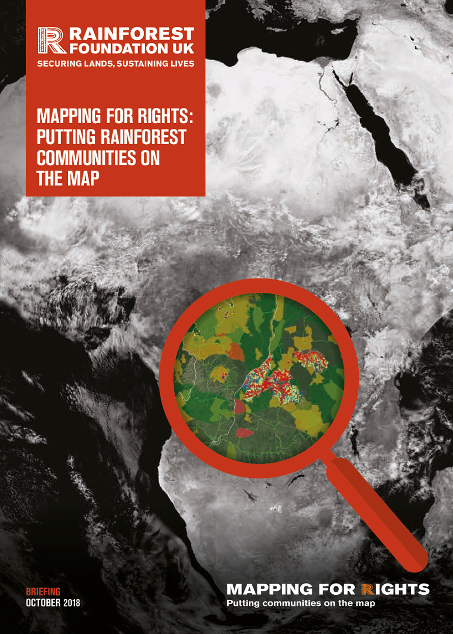
This first in a series of short MappingForRights information briefs provides a general overview of the programme, how it is helping to transform perceptions of forests in the Congo Basin and looks ahead to what this means for various forest reforms in the region.
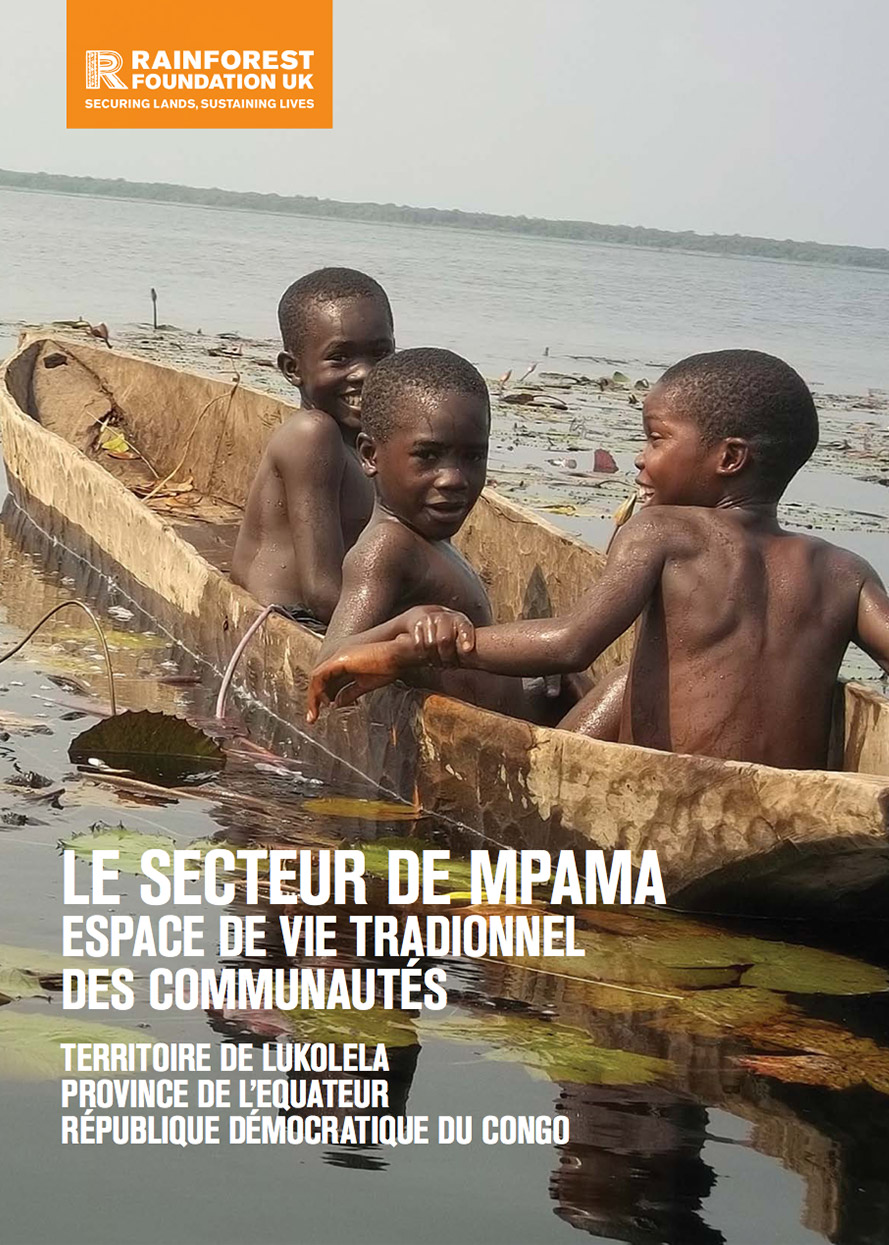
This community ‘atlas’ provides information on the realities and traditional livelihoods of the communities of Mpama sector, in the territory of Lukolela, Equateur province, in the Democratic Republic of Congo.
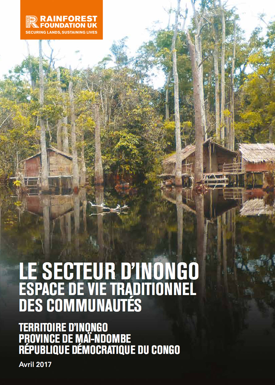
This community ‘atlas’ provides information on the realities and traditional livelihoods of the communities of Inongo sector, in the Inongo territory, Mai-Ndombe province, in the Democratic Republic of Congo.
Real-time community-based monitoring is a tool that connects local people with national law enforcement in an effort to stop illegal logging and deforestation. Using our bespoke ForestLink system, forest communities can send alerts and evidence of a number of threats...
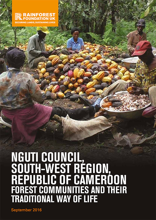
This leaflet presents information on the reality and traditional way of life of local communities in the Council of Nguti, Kupe-Muanenguba Division, in the South West Region of Cameroon.
Download PDF
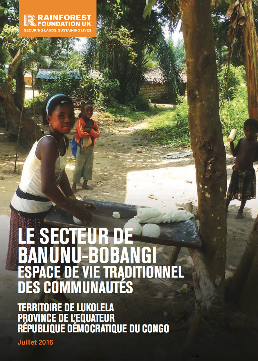
This community ‘atlas’ provides information on the realities and traditional livelihoods of the communities of Banunu-Bobangi sector, in the territory of Lukolela, Equateur province, in the Democratic Republic of Congo.
Accessing and using the forests upon which they depend for survival is one of the main challenges faced by local communities in the Congo Basin rainforests, especially for indigenous 'Pygmies'. National laws offer very few rights for Central Africa's forest...